
Peacock Engineers · Carlisle
A map of your site you can design on.
Levels, boundaries, services, trees and structures, measured on site and drawn to scale. Architects design on it. Engineers price from it. It has to be right.
Before you ring
What do I need to send you?
A postcode or a plan of the land, and what the survey is for. Planning, design and drainage need different detail, so telling us the purpose gets you the right survey.
How long does it take?
Small sites are usually measured in one visit. Your quote gives you two dates in writing: the day we measure and the day the drawings land.
What does it cost?
Topographical surveys have a starting price. from £ TBC, Kieron to confirm Worked out properly and put in writing before anything starts. See What it costs.
In your hands
Drawings in the format your team uses
Scaled CAD and PDF drawings of the natural and built ground: levels, contours, boundary features, services covers, trees and buildings.
Measured with survey-grade kit
Leica robotic total stations and GPS, on proper site control. Stockpiles and earthworks can be flown by drone for volumes.
Hundreds completed
From single plots to full development sites, for architects, developers and contractors. We have completed hundreds of topographical surveys.
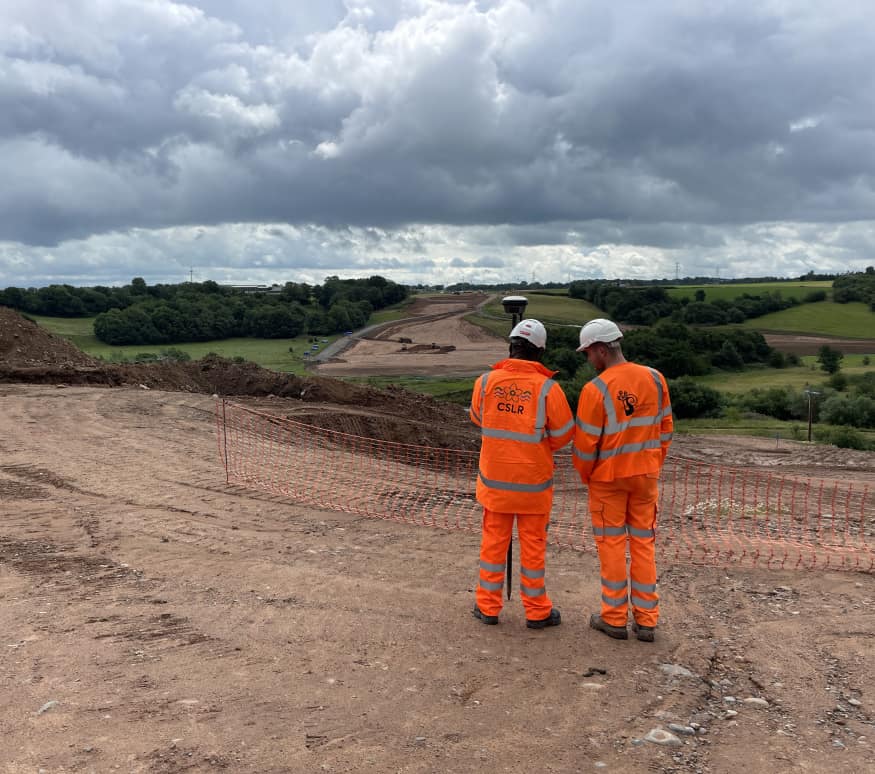
Proof
Carlisle Southern Link Road
Survey and setting out with Galliford Try on 8km of new road for Carlisle. Four road bridges, five cycle bridges, and every level checked.