
Peacock Engineers · Carlisle
Know what's down there before you dig.
Radar finds what records miss: pipes, cables, voids, rebar and buried structures. One strike costs more than every survey you will ever buy.
Before you ring
What do I need to send you?
A postcode, the area you plan to dig or core, and any utility records you already hold. If you have nothing, say so. That is what the survey is for.
How long does it take?
Most areas are scanned in a day, marked on the ground as we go. The mapped drawings follow, on a date given in the quote.
What does it cost?
Priced by the area and the detail you need. Worked out properly and put in writing before anything starts. See What it costs.
In your hands
Marks on the ground, the same day
Utilities and features painted where they run, so your crew can see them before the digger arrives.
Mapped drawings for the record
The processed results as CAD and PDF drawings. Depths, runs and confidence, mapped onto your site.
The right antenna for the ground
Different depths and materials need different frequencies. We carry a range of GPR kit and pick what suits each survey, including concrete, rebar and void checks.
Proof
Marked before the dig
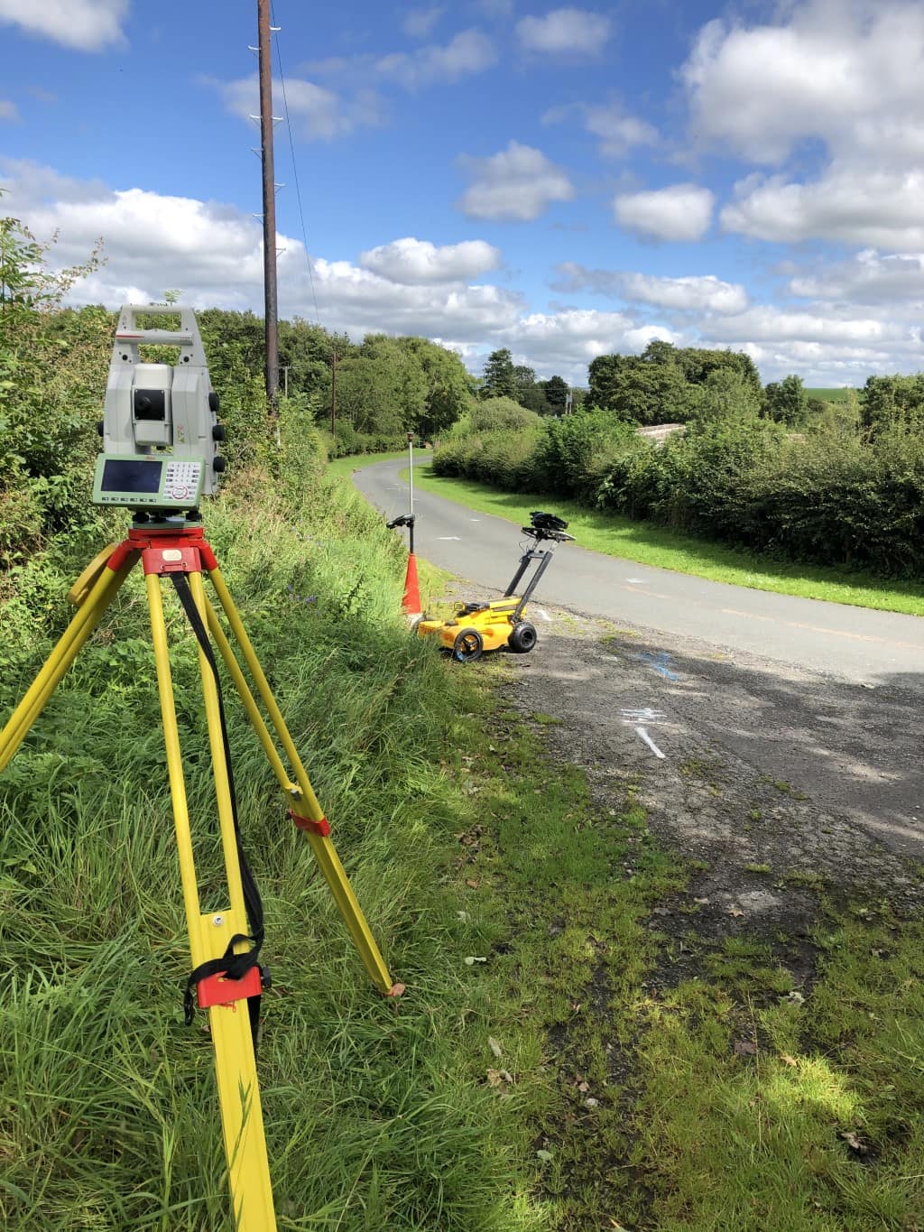
Radar cart on the lane, marks on the tarmac, positions tied in by total station. What is under the road stops being a guess.